The Best Free Maps PowerPoint Templates On The Web
Maps are used in many different kinds of presentations. From academic to business to social and cultural presentations, maps are useful for letting the audience know where your business operates or where your target market lives, and so much more. A single map can relay volumes of information with just a single glance. It is, after all, an infographic.
Knowing the value of maps in a presentation is different from actually creating a map and inserting it into your presentation slides. Not everyone will have the patience nor the time to actually design a map from scratch. This is where free maps PowerPoint templates come in.

The good news is because maps are often featured in presentations, many creative professionals have made it their mission to create maps and upload these to the world wide web. This means you now have plenty of options to choose from no matter which country or continent you’re featuring in your presentation.
World maps, in particular, abound on the world wide web. But which ones are the best? And more specifically, which of the best maps PowerPoint templates are free? That’s what you’re going to find out in this article.
Static Maps vs. Editable Maps Templates For PowerPoint
If you were to choose, which map would you prefer? A plain, boring map or an editable map PPT template? You’d probably choose the latter. I’d be seriously surprised if anyone reading this will consider the first option. Kidding aside, however, the truth is that nobody wants to sit in a boring presentation.
If you want to knock your presentation out of the park, then you need to make your visitors’ eyes pop (figuratively, of course). You need to hook them in with eye-catching presentation slides. This is especially important nowadays where we are all spoiled for choices, and everyone can easily compare your presentation design to somebody else’s.
Depending on your presentation, you may only need to use one slide for your map or you can use several slides. No matter how many map slides you require, what’s important to remember is that your audience should understand what your presentation is all about. They need to receive your message loud and clear. There are no ifs and buts when it comes to presentations. Otherwise, you could be wasting everybody’s time – including your own.
When it comes right down to it, you need to get creative with your maps. So, where do you download these free maps PowerPoint templates?
Scroll down the page and you’ll know soon enough!

Top Places To Download Free Maps PowerPoint Templates
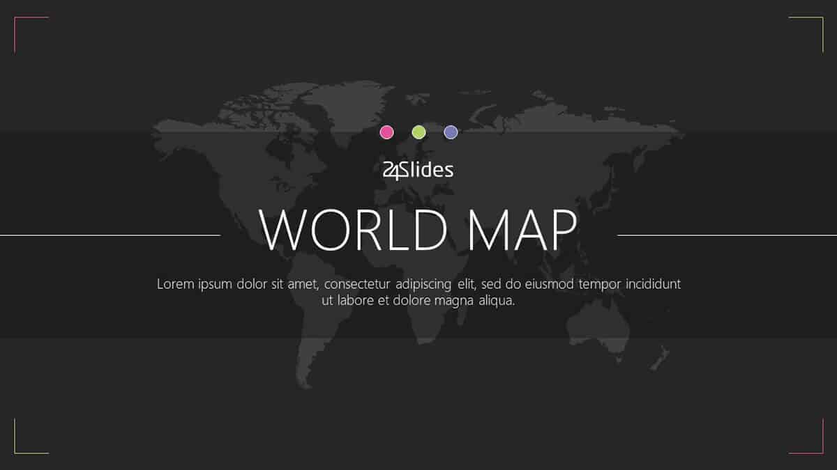
1. Templates by 24Slides
When it comes to PowerPoint templates, 24Slides lead the pack. We offer so many high-quality and free PowerPoint templates, including several map templates. Here are some of the top maps templates you can download and use for your presentation:
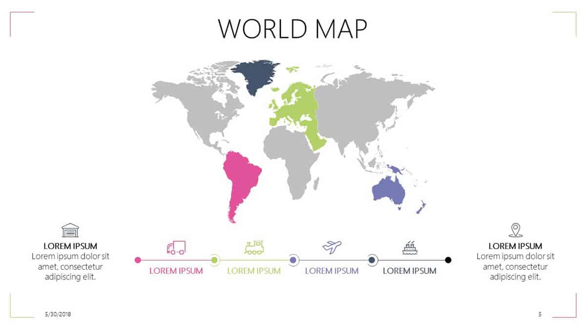
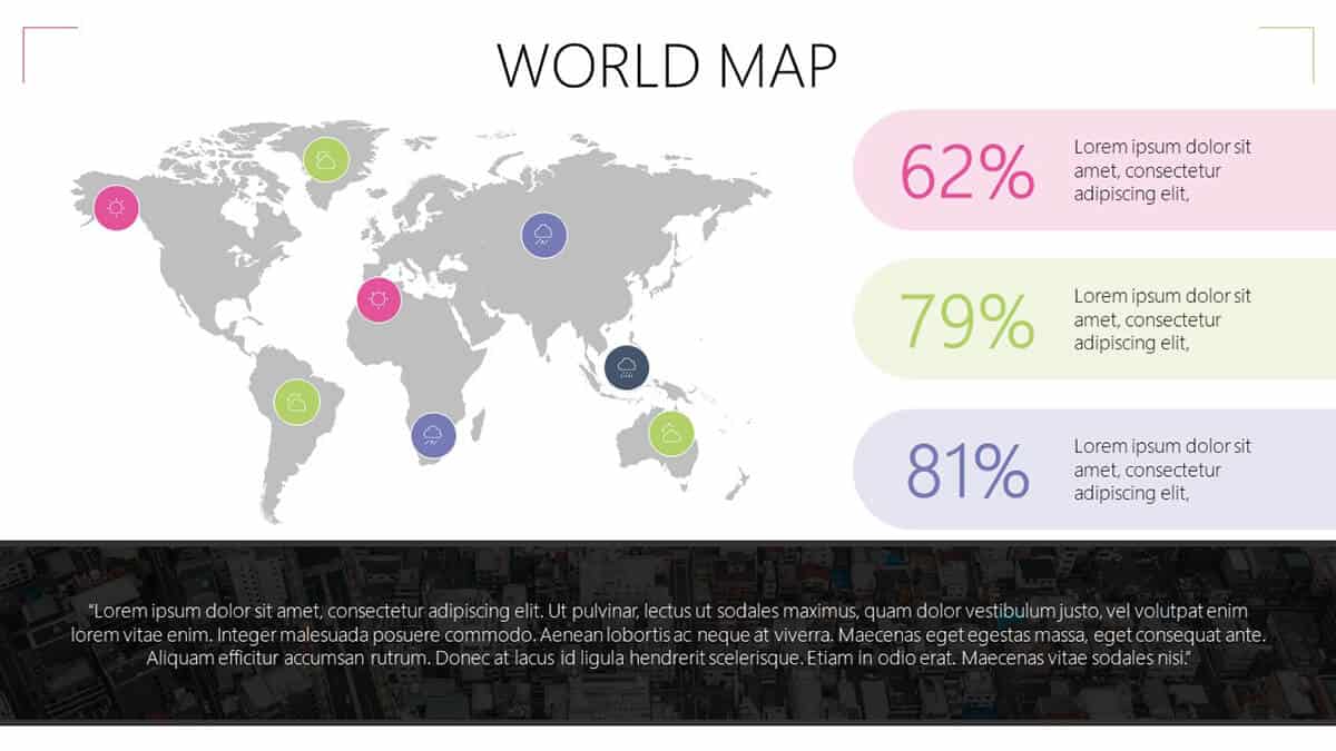
World maps are handy if you’re presenting something that covers multiple locations across the globe, that is, you’re discussing something that goes beyond the borders of a single region or continent. For example, if you’re presenting something related to world history or anything else that requires the use of a world map, then you’ll surely benefit from this template.
Slides in this template pack include a world map with pie charts slide, world map delivery and shipment slide, world map company’s HQ and retail stores slide, and so much more. If you want a world map which highlights specific countries to present in PowerPoint, then you can simply edit the map templates.
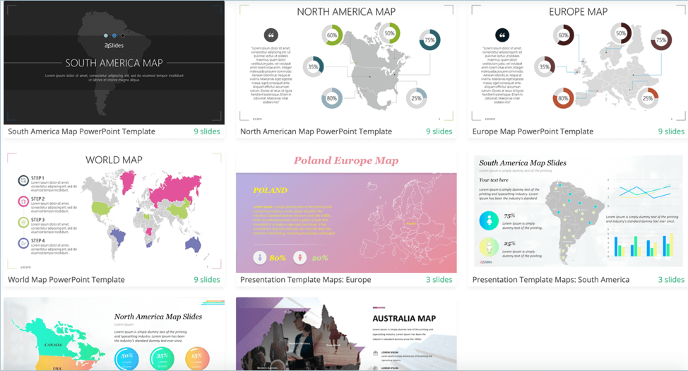
Here are screenshots of some of the slides included in this template pack:
If you’re looking for a free editable world map for PowerPoint with country names on it, then you probably need to look further. Most templates with country names fetch a premium price, so an alternative would be for you to look at the world map like on Geology.com and then cross-reference the map on our free template. Ungroup the map elements on the slide and then locate the countries or regions you wish to edit. That’s it!
If you have some spare cash, however, and you can afford to spend $99 on a premium world map with country names for PowerPoint, then you may want to head on over to this site. They even have a straight to the point instructional video on their homepage to show you how easy it is to edit and customize their map. Here’s a screengrab from their video:
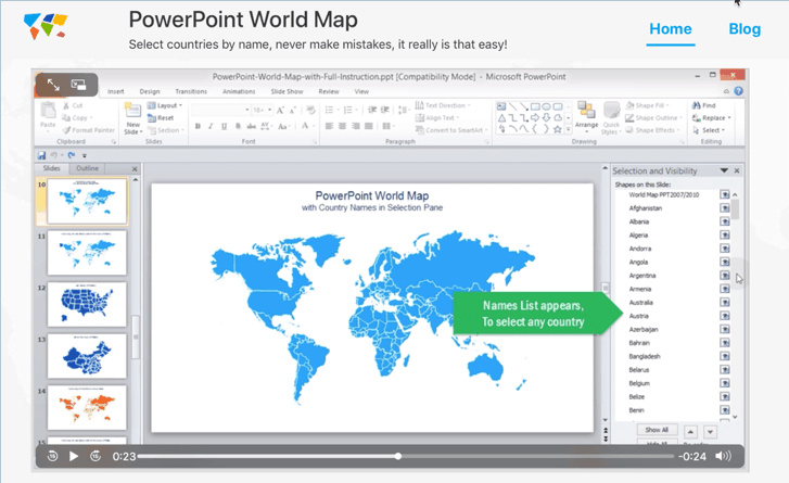
Best of all, you don’t need to manually hunt down tiny countries on your own. You’re practically assured you’re not going to end up embarrassing yourself in front of your audience when you point to a country and mistakenly call it by another name!
If you need to present some key data about the US, then look no further than this free editable US map PPT template. Some slides even include the names of all 50 states, so if it’s something that you can use in your presentation, then feel free to download the template now.
Here are some screenshots of the slides included in this 9-slide template pack:
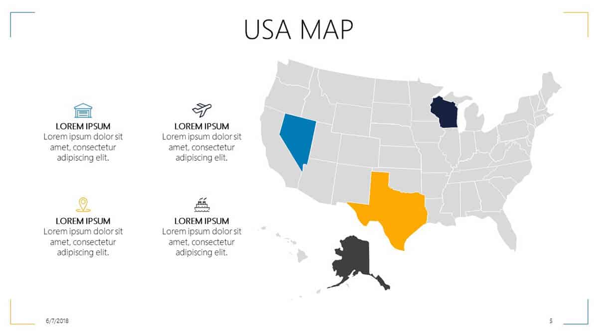
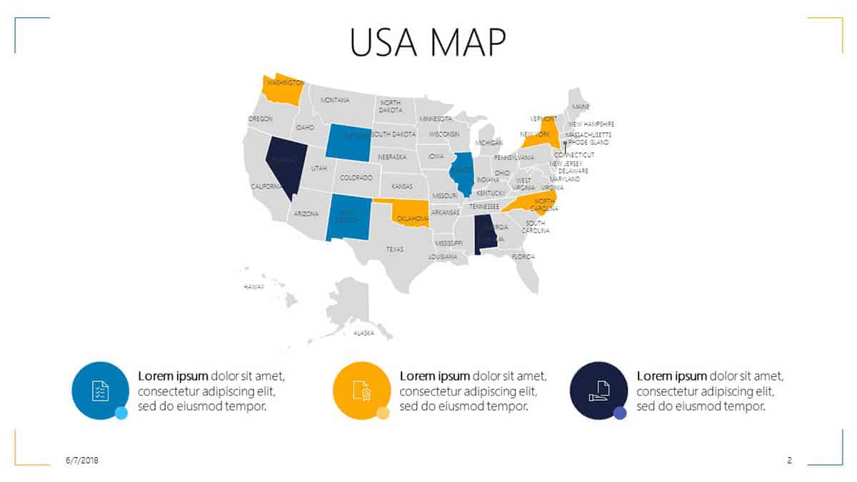
In addition to the slides above, this template pack also includes a USA map key statistics slide, a USA map company’s HQ representation slide, and a USA map key operations slide. If you need to change any of the icons included in the slides, then you can check out our free icons template packs for PowerPoint.
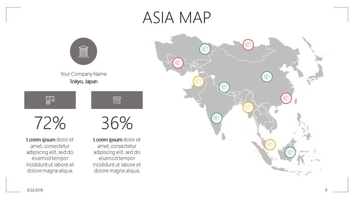
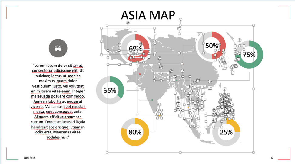
If you need to showcase your company’s locations or branches in Asia, then you should check out this 9-slide PPT template. There’s a map pie chart slide, a transport and logistics slide, a steps slide, and more.
Here are some sample slides included in this template pack:
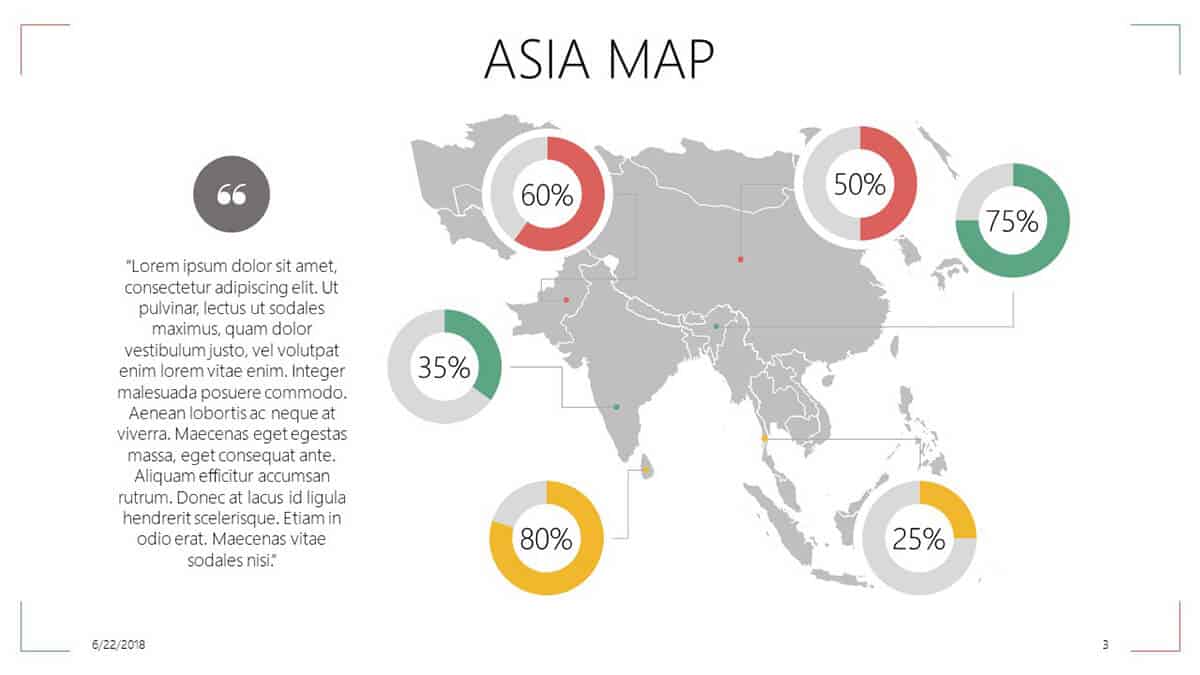
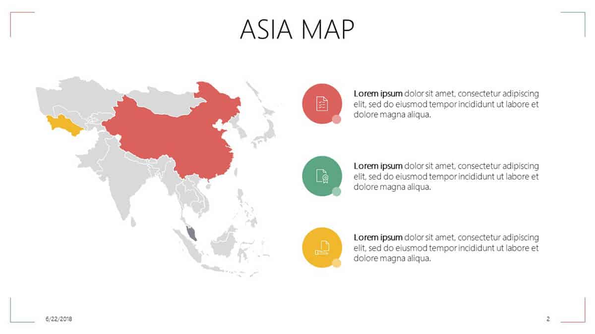
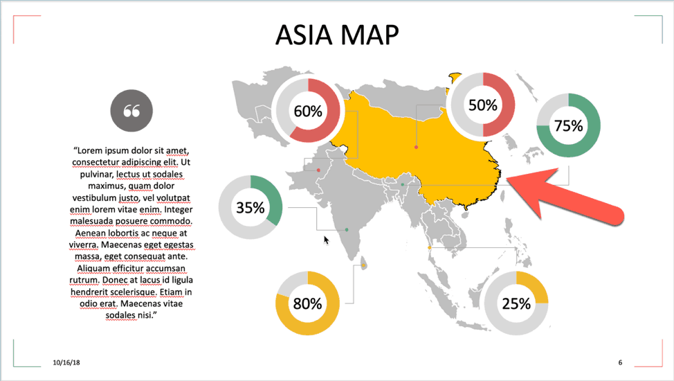
Customizing any of the slides is easy. If you want to edit any of the maps, you can easily do so. For example, in the first slide, China is colored red. If you want to use a different color, or perhaps make India red as well, then all you have to do is click on the map, then ungroup the elements so you can edit each shape or country you want to talk about in your presentation. The same thing goes for any of the elements you want to edit and customize for your presentation.
In addition to the template packs I’ve listed above, you can also download other maps. These include:
South America Map PowerPoint Template
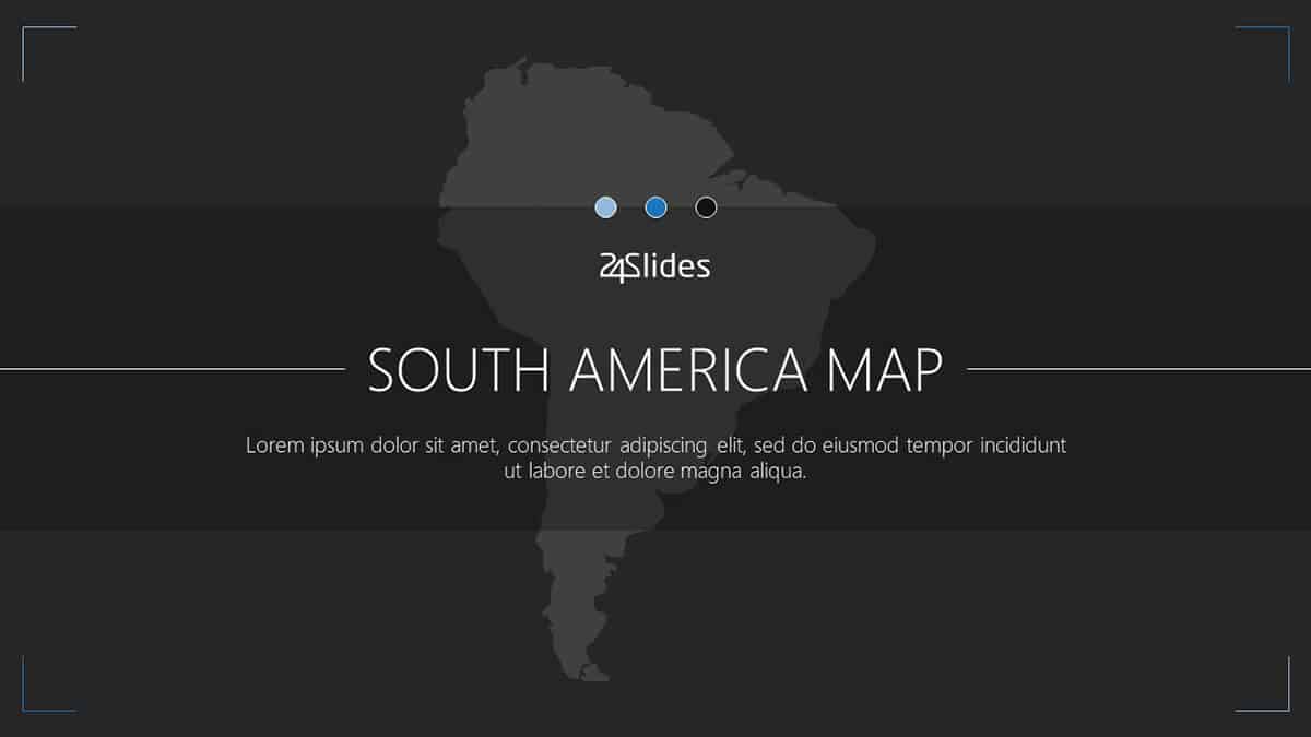
If you need to present some info that pertains to South America, then you should check out this 9-slide template pack. From the northernmost point in Colombia to the southernmost region in Chile, this template pack has you covered. With a few customizations, you can transform your South American map into something totally unique.
North American Map PowerPoint Template
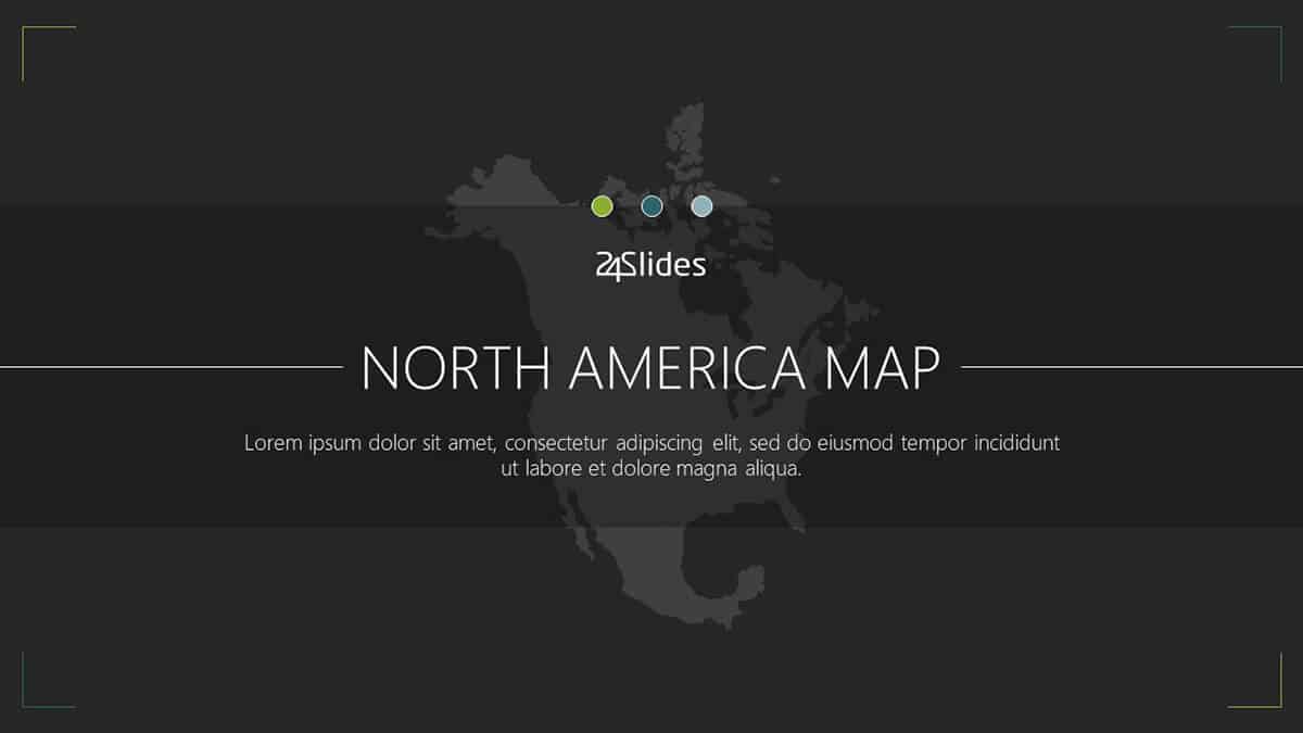
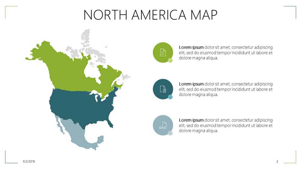
If you need to talk about the North American region and you’re looking for the perfect map, then this is the template pack you need. With 9 slides to choose from, you have a wide variety of choices. From Canada to the US to Mexico, this map will have your North American map needs covered.
Europe Map PowerPoint Template
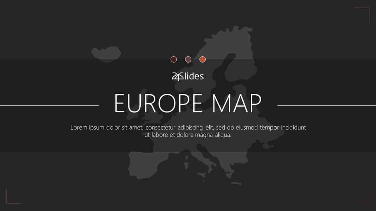
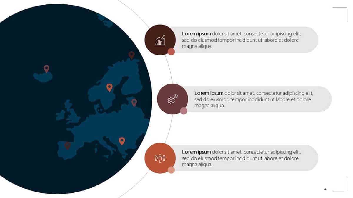
This 9-slide European map template pack covers all geographic regions of Europe. From Iceland and the British Isles to Scandinavia, Southern and Eastern Europe, your European map presentation needs will be covered. Whether you’re using these maps for your history presentation in class or something related to your company’s new stores or offices in Europe, you’ll find a map design in this template pack that will fit your needs.
Australia Maps PowerPoint Template
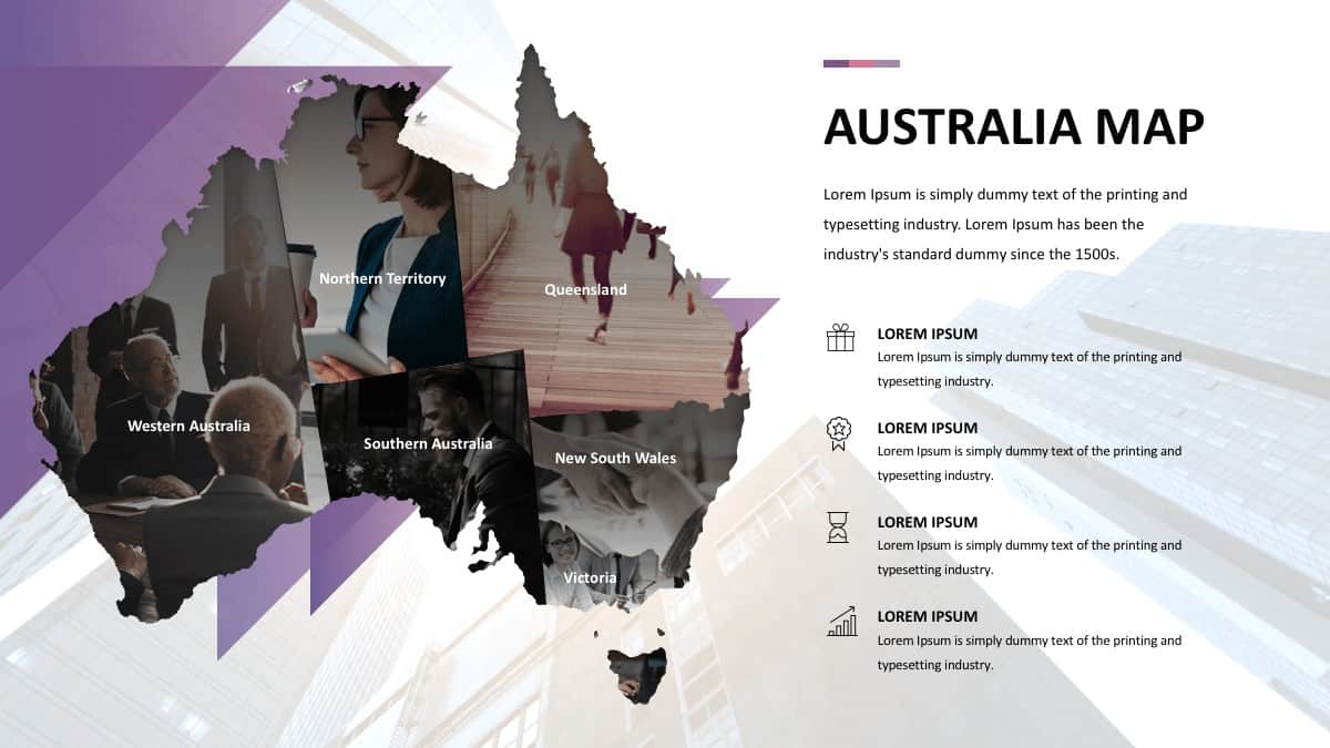
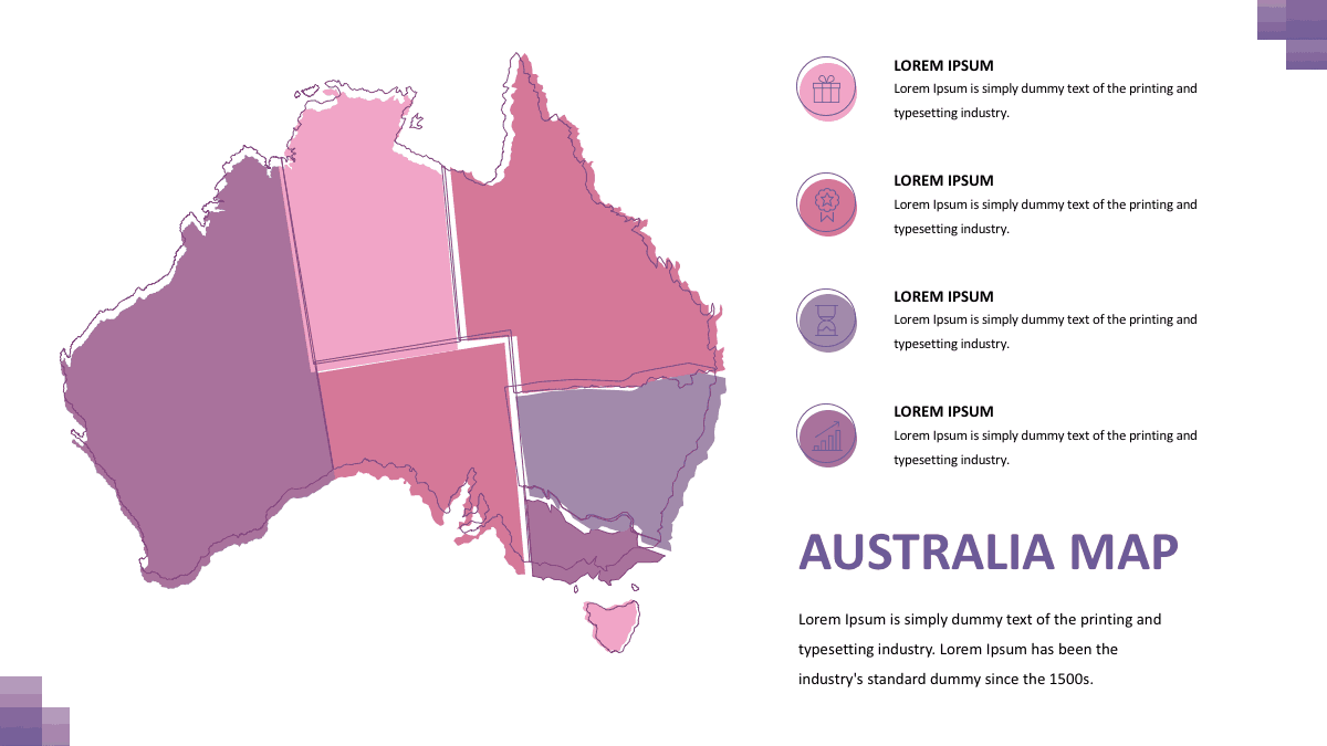
Our Australian map template pack includes 3 slides. Whether you’re looking for a map for creative or professional use, you’ll surely be able to benefit from this highly customizable and free template pack. If you don’t want to use images as ‘shape fill’ for the different Australian regions like you see in the first image, then you simply need to ungroup the different elements and replace the ‘shape fill’ to something that will be in line with your presentation’s overall design.
2. PresentationGo’s free collection of editable maps and flags for PowerPoint
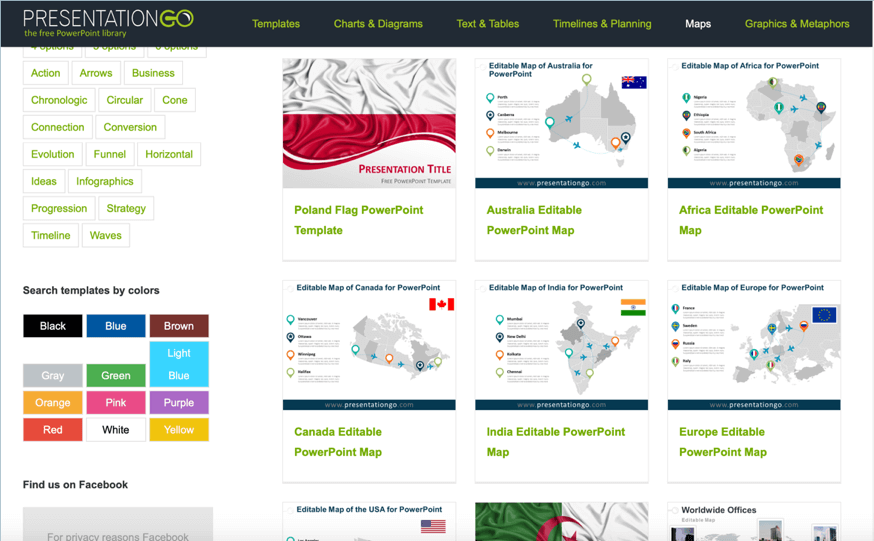
PresentationGo offers several maps PPT templates for free. In addition to world maps and continent maps, they also have some country-specific maps like Thailand, India, Canada, and more. If you want to use some flag-themed templates, you can download this kind of templates here. You can mix and match their templates. So, for example, if you’re presenting some info on Spain, you can first show a map of Europe on the first slide and then on the second slide, you can then use the Spanish flag template. You can use any number of combinations you like; you can even use their templates in conjunction with 24Slides’ templates!
3. Showeet’s free maps for PowerPoint presentations
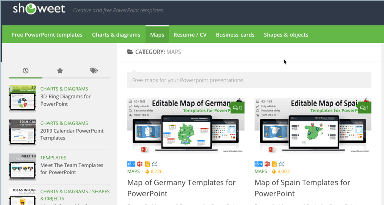
Showeet is another popular source for free maps templates. Their free world map and PowerPoint world map with rollover effect are especially popular amongst PPT users who need to present some information that requires the use of a world map. You can also download a USA map, Europe map, UK map, Germany map, France map, and Spain map.
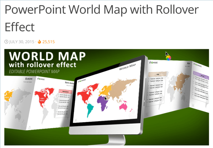
What I really like about Showeet’s template’s is that they don’t just give you free access to their high-quality templates. They also give you details on how you can use their templates. Check out the link above to their world map with rollover effect and you’ll see what I mean – you’ll get step by step instructions to get the rollover effect for your presentation!
4. Presentation Magazine’s Editable Map PowerPoint Templates
Presentation Magazine has several free templates which you can check out and download today. One of their most popular template is their editable world maps vector template which you can see here:
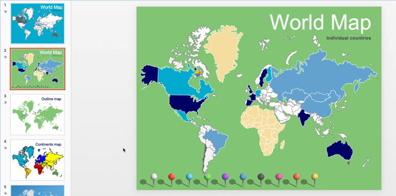
This 6-slide template pack includes an outline map, a continents map, and more. They even include some brightly colored pins which you can freely move around on the slide! It’s great if you want to pinpoint some countries on the map, you don’t need to look elsewhere for free pin icons.
In addition to this free world map template, you can also download continent and country-specific maps like China, India, United Kingdom, Egypt, Taiwan, the United States, and so much more!
5. Microsoft Office’s Map Templates
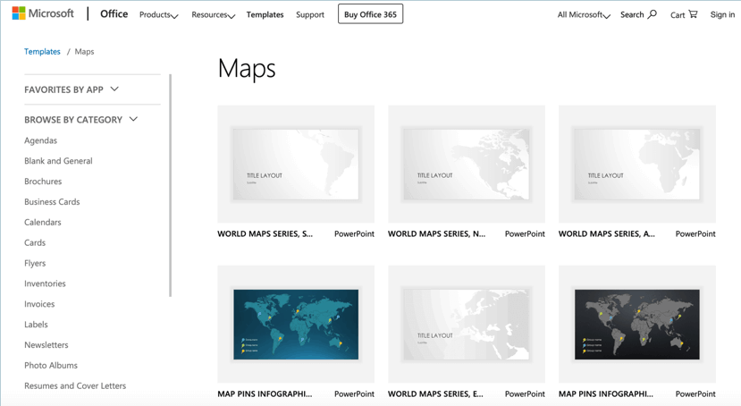
There are a number of free maps templates you can download on the Microsoft website itself. While these aren’t exactly going to wow your audience (they’ve probably seen these templates many, many times), these are still a good base for you to work on. With some design skills and some well-executed edits, you can transform these boring templates into something magical.
How To Customize and Edit These Free Maps PowerPoint Templates
In this section, I’ll show you how you can put the template maps I’ve shared above to good use by customizing it according to your presentation’s requirements. I’ll provide screenshots as well so you can follow the steps. Note that for the most part, the instructions for PowerPoint on both Mac and Windows are largely the same.
For this example, I’ve downloaded the Asia Map Template Pack from 24Slides.
Once you’ve downloaded your template, go to the slide or map you want to edit. Right-click on the map and select the Ungroup option, like so:
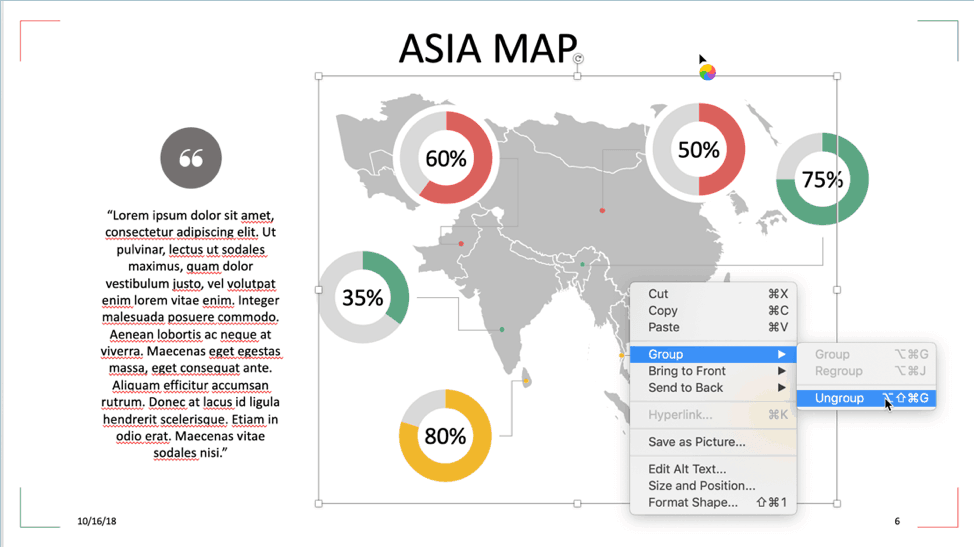
In the image above, you can see the entire map is just a single element. However, when you click Ungroup, you’ll see something like this:
As you can see, every country on the map now gets its very own editable shape. If you want to change a specific country’s color, then all you have to do is click on the country’s shape to access the hidden ‘Shape Format’menu:

You now have the option to change the country’s color to make it stand out from the map. You can add an outline if you like, and so much more. Here’s what happened when we set China’s shape fill to orange and its outline to black:
If you need to edit any other country, simply do the same process. Don’t forget to edit the ‘lorem ipsum’ filler text and replace it with your own content!
How To Create A Map On PowerPoint
If, for any reason, you find you don’t want to use the free maps templates you’ve downloaded, then don’t fret. There are a couple of ways you can create maps on PowerPoint.
Method #1:
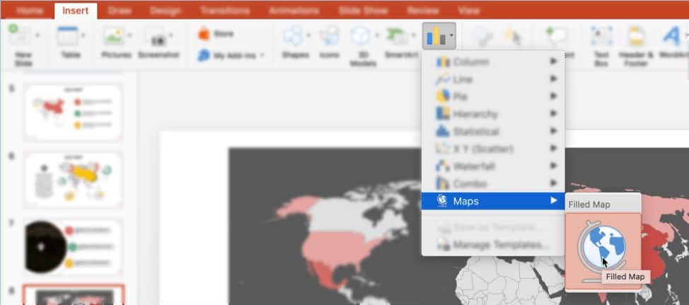
If you have an active Office 365 subscription or Office 2019, you can create your very own map on PowerPoint. All you have to do is click on Insert> Chart> Maps> Filled Maps:
An Excel data sheet will then open in the background. This is where you edit your map data. Any changes you make to the Excel file will automatically update in PowerPoint. Check out this video for more information:
Method #2:
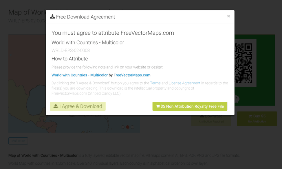
The second method is similar to downloading free maps templates on the web. But instead of downloading templates, you’ll be downloading vector maps. There are some good free vector maps out there as well as premium ones. Probably one of the most popular free vector maps sites out there is FreeVectorMaps.com.
You can download maps for free but you will need to attribute the site. If you don’t want to give any attribution, you can buy maps for a few dollars each. Here’s an example:
Once you’ve downloaded the zip file, you will then need to convert either the .ai or .eps file to .emf format. Here’s a good guide that will walk you through the entire process.
With the vector file converted to .emf format (you can export it in Adobe Illustrator or use an online conversion tool like Convertio), you should now be able to ‘ungroup’ the individual elements. You can then format any shape or country/region as you see fit.
How To Create An Interactive Map In PowerPoint
A more modern way of presenting maps on PowerPoint is by using Google Maps and embedding it into your presentation. Now, not all kinds of presentations is going to benefit from this, but if yours does, then by all means use Google Maps to create an interactive map in PowerPoint!
Here’s a step by step guide you can follow to add Google Maps to your PowerPoint presentation:
Final Thoughts On Using Maps Templates For PowerPoint
You can dazzle your audience with well-designed maps, but at the end of the day, you need to make sure you don’t just wow them visually. Showing a map is great for getting your stories and your points across, but in some cases, a map may not be necessary at all. This is especially true if you’re only presenting something that happens within a single location only. Don’t use a map just for the sake of having some graphics on your slides!
Ask yourself first if your map will add some value to your presentation. If it won’t add value, then don’t stress yourself out and think of ways you can get your point across without using maps. However, if you think a map will help your audience understand your topic better, then go ahead and add your maps to your slides.